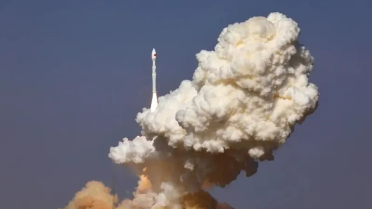

Pakistan on Sunday successfully launched its first Hyperspectral Satellite[1] HS-1 from a Chinese launch centre, marking a major milestone in the country’s space program. The Pakistan Space and Upper Atmosphere Research Commission (SUPARCO) described the achievement as a “breakthrough” for national space technology.
According to SUPARCO, the Pakistan Hyperspectral Satellite HS-1 is designed to capture highly detailed imagery across hundreds of narrow spectral bands, enabling precise analysis of land, vegetation, water, and urban environments. This technology goes beyond traditional satellite imaging, which captures only limited colour bands like red, green, and blue.
The hyperspectral technology will significantly enhance Pakistan’s ability in precision agriculture, environmental monitoring, urban planning, and disaster management. SUPARCO said the new satellite will help monitor crop health, soil moisture, and water quality, while tracking deforestation, pollution, and glacial melt with greater accuracy.
🔊PR No.3️⃣1️⃣0️⃣/2️⃣0️⃣2️⃣5️⃣
SUPARCO Successfully Launches Pakistan’s First Hyperspectral Satellite https://t.co/N6dil4vaMe
🔗⬇️ pic.twitter.com/rFDSSIcstv[2][3]— Ministry of Foreign Affairs – Pakistan (@ForeignOfficePk) October 19, 2025[4]
It will also strengthen early warning systems and post-disaster assessments for floods and landslides, particularly in northern regions. Additionally, the HS-1 satellite will support projects under the China-Pakistan Economic Corridor (CPEC) by identifying geo-hazard risks and assisting in sustainable infrastructure planning.
SUPARCO Chairman Muhammad Yousaf Khan thanked the government for its support and said the data from HS-1 will revolutionize agricultural productivity, improve climate resilience, and promote better management of Pakistan’s natural resources.
References
- ^ Hyperspectral Satellite (www.techjuice.pk)
- ^ https://t.co/N6dil4vaMe (t.co)
- ^ pic.twitter.com/rFDSSIcstv (t.co)
- ^ October 19, 2025 (twitter.com)