Pakistan successfully launched the PRSS-II remote-sensing satellite on July 31, 2025. The launch took place at the Xichang Satellite Launch Centre in China. SUPARCO, Pakistan’s national space agency, confirmed the achievement.
This satellite is a major advancement for Pakistan’s space and environmental monitoring efforts. It will support disaster response, urban planning, agriculture, water monitoring, and climate analysis.
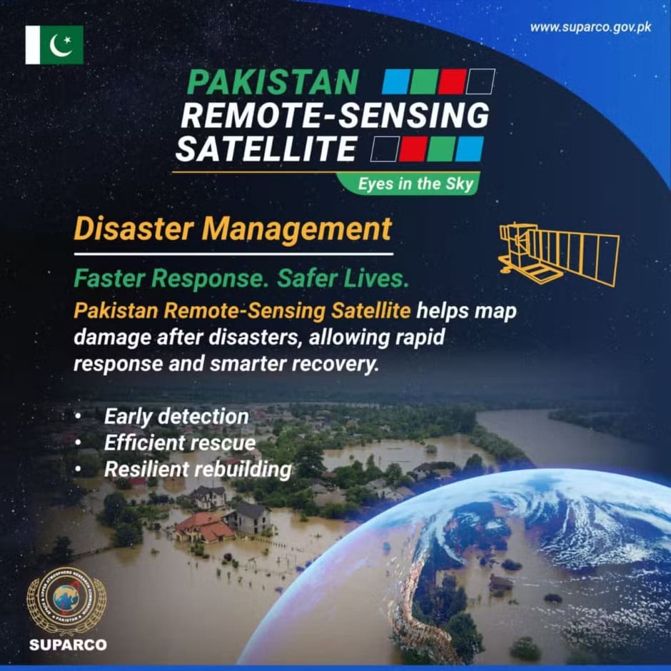
Disaster Management Support

PRSS-II will help map damage quickly after natural disasters like floods or earthquakes. Authorities can plan faster relief operations and recovery efforts using their data.
Smarter Urban Planning

The satellite tracks land use, infrastructure growth, and traffic patterns. City planners can use this data to develop smarter, more sustainable urban environments.
Better Water Monitoring

The satellite helps monitor rivers, reservoirs, and flood risks. It can support early flood warnings and improve water resource management.
Agricultural Boost

PRSS-II monitors crops to detect early signs of stress and estimate yields. Farmers and officials can use this to improve food security and boost productivity.
Climate and Environmental Tracking

The satellite monitors changes in glaciers, soil erosion, and climate trends. This helps assess the long-term effects of climate change across Pakistan.
Forest Protection

PRSS-II detects illegal logging and evaluates forest health. It supports national conservation programs and helps fight deforestation.
SUPARCO said PRSS-II enhances Pakistan’s self-reliance in space-based observation. It marks a significant step in using technology for national development and environmental management.