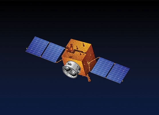
Pakistan will launch its advanced remote sensing satellite at 6:45 AM from China’s Xichang Satellite Launch Center. This launch is a major milestone in the country’s space journey and technological advancement. According to SUPARCO, the event will be broadcast live from its Karachi complex. The satellite is designed to improve Pakistan’s Earth observation capabilities significantly.
It will monitor crop yields, infrastructure, and population trends nationwide. This will help authorities plan better and allocate resources more efficiently. The satellite will also play a key role in natural disaster monitoring. It will track floods, earthquakes, landslides, and glacier movements. This will allow quicker response times and preventive action.
Moreover, the satellite will assist in observing forests and environmental changes, supporting early warning systems for natural hazards. It will offer geospatial data support for CPEC and national development projects. Environmental sustainability and resource management will also benefit from this technology.
SUPARCO stated that the satellite project is in line with the National Space Policy and Vision 2047. It marks a step forward in making Pakistan a key player in regional space technology.
