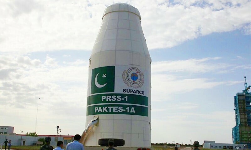

LAHORE: Pakistan’s new remote sensing satellite has successfully reached orbit and begun operations, sources at the Space and Upper Atmosphere Research Commission (Suparco) said on Saturday.
The satellite was launched from China’s Xichang launch centre on July 31.
The satellite has established stable communication links with ground stations and started acquiring high-resolution images for sending them to the ground.
This will make data available for various sectors of national life.
The satellite has high-quality imaging capabilities that will revolutionise urban planning and infrastructure development. It will also help monitor urban sprawl and development trends.
It will strengthen the natural disaster prevention system and enable rapid response by providing timely data that could alert authorities to possibility of floods, landslides, earthquakes and other disasters.
The satellite will also play a role in environmental protection, such as monitoring melting of glaciers and deforestation.
According to experts, it will help boost agricultural production.
The satellite is expected to play a key role in execution of development projects like the China-Pakistan Economic Corridor, mapping transport networks, identifying geo-hazards and enabling the effective use of natural resources.
Published in Dawn, August 17th, 2025